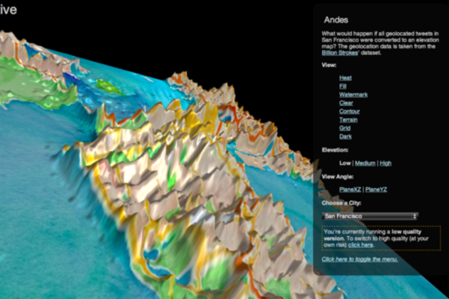
On June 1st, Twitter created beautiful maps visualizing billions of geotagged tweets. Today, the social network is getting artsy once agsain, using the same dataset — which it calls Billion Strokes — to produce interactive elevation maps that render geotagged tweets in 3D. This time around, Twitter visualized geotagged tweets from San Francisco, New York, and Istanbul in maps that viewers can manipulate.
via The Verge - All Posts http://www.theverge.com/2013/6/28/4475804/twitter-interactive-3d-map-tweet-visualization
No comments:
Post a Comment