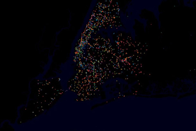
YouTube user STLTransit has a wonderful collection of videos that visualize the movements of the public transit systems of various locations — turning public transit data into a flowing display of a city's daily life. Each video shows the ebb and flow of traffic during a single day, with various transit systems like bus and rail shown in different colors. The result is a brief but exciting glimpse at our world — a satellite's view of a city's living protoplasm on the streets below.
via The Verge - All Posts http://www.theverge.com/2012/11/27/3699300/public-transit-visualization
No comments:
Post a Comment